Showing posts with label USA. Show all posts
Dartmoor in Devon
 Image|Link

Introduction:

Dartmoor is an area of moorland in south Devon, England. Protected by National Park status as Dartmoor National Park, it covers 954 square kilometres (368 sq mi).The granite which forms the uplands dates from the Carboniferous Period of geological history.

Dartmoor in Devon
 Image|Link

Facts:

With the largest concentration of Bronze Age remains in the UK, there is plenty for the modern antiquarian to discover on Dartmoor. But if you want something a little more exciting than Bronze Age barrows and spectacular scenery, there are plenty of outdoor activities to get your pulse racing.


Dartmoor in Devon

 Image|Link

Get in:

Exeter has two main train stations, St. Davids (where most long-distance services call,) and Central. Central, unsurprisingly, is closer to the centre of town, but the two are within a short walk of one another.


Article Sources : Link|Link|Link

Dartmoor in Devon


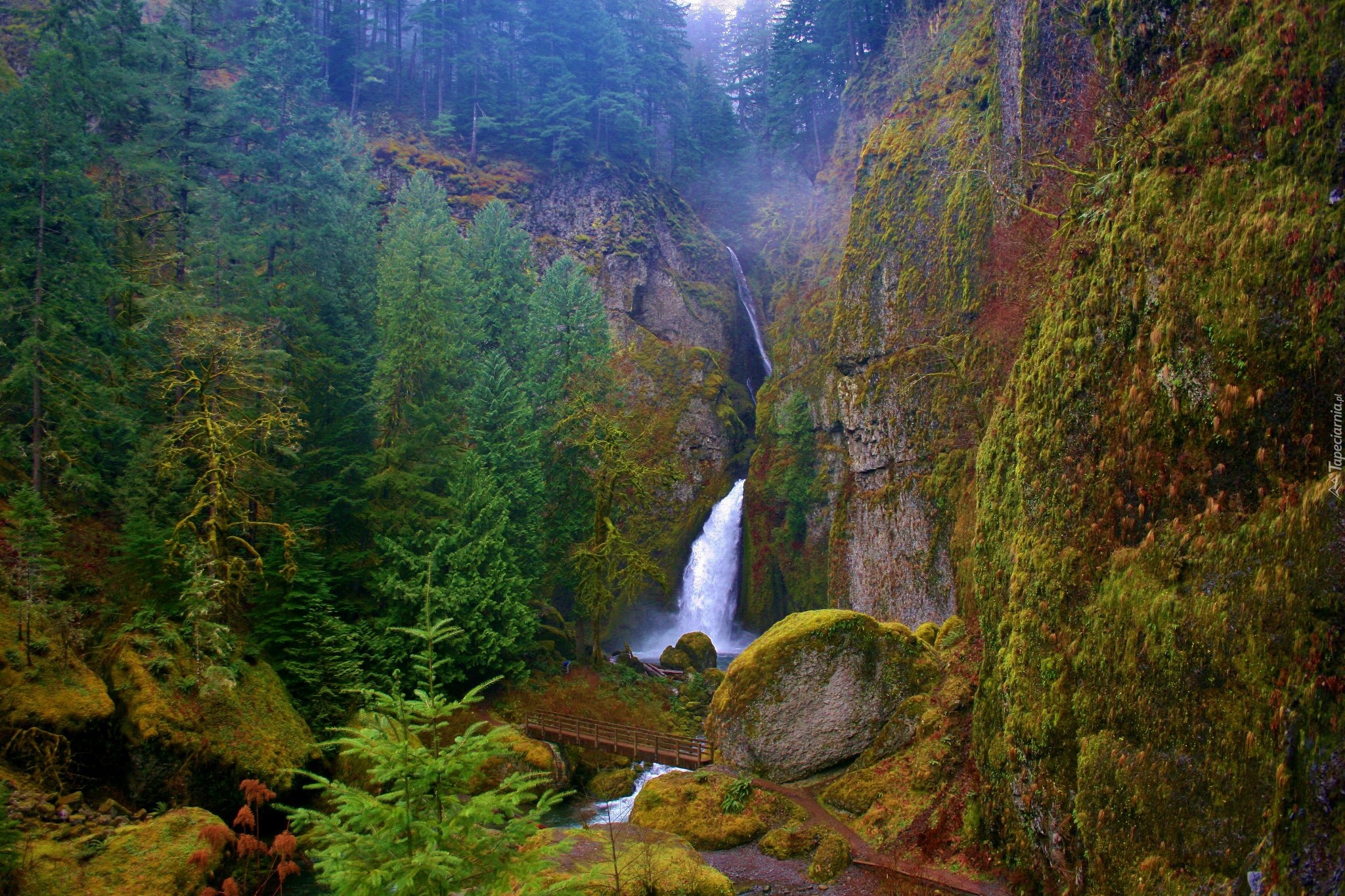
Elowah falls, oregon

 Image|Link

Introduction:

Elowah Falls is one of the hidden gems in the Columbia River Gorge. The falls flow year round, but are best in the late winter and spring, like many others in the area. The cliffs on either side of the falls are flanked with the colorful yellow-green lichen found throughout the Columbia Gorge, adding a lot to the aesthetics of the scene.

Elowah falls, oregon


 Image|Link

To Do:

At Elowah Falls, McCord Creek crashes into a huge amphitheater made up of several distinct lava flows. This is a fairly easy hike, appropriate for most beginners. There is a small amount of climbing with a summit in the middle. Consider combining this hike with the Upper McCord Creek Falls Hike.


Elowah falls, oregon


 Image|Link

Get in:

John B Yeon Trailhead: Traveling east on I-84, take Exit #35/Ainsworth. Turn left at the stop sign, then immediately turn right onto the Frontage Rd. Drive east on Frontage Rd for 2.1 miles and turn right into the trailhead parking lot. The lot will be just before the road re-enters the highway.


Article Sources :Link|Link|Link

Elowah falls, oregon


Yosemite National Park is a United States National Park spanning eastern portions of Tuolumne, Mariposa and Madera counties in the

Image|Link


About:
Yosemite National Park is a United States National Park spanning eastern portions of Tuolumne, Mariposa and Madera counties in the central eastern portion of the U.S. state of California. The park, which is managed by the National Park Service, covers an area of 747,956 acres and reaches across the western slopes of the Sierra Nevada mountain chain Over 3.7 million people visit Yosemite each year:


Article Sources :||Link

Yosemite National Park California

Iceberg Lake is located in Glacier National Park, in the U. S. state of Montana. Mount Wilbur is south and Iceberg Peak is west of Iceberg Lake. Iceberg Peak towers more than 3,000 feet (910 m) above the lake.

Image|Link

Introduction:

Iceberg Lake is located in Glacier National Park, in the U. S. state of Montana. Mount Wilbur is south and Iceberg Peak is west of Iceberg Lake. Iceberg Peak towers more than 3,000 feet (910 m) above the lake.

Iceberg Lake is located in Glacier National Park, in the U. S. state of Montana. Mount Wilbur is south and Iceberg Peak is west of Iceberg Lake. Iceberg Peak towers more than 3,000 feet (910 m) above the lake.

Image|Link

To do:

The Iceberg Lake Trail in Glacier National Park is one of the “crown jewel” hiking trails in the park. To put it quite simply, the Iceberg Lake Trail offers one of the most scenic hikes you can find.


Iceberg Lake is located in Glacier National Park, in the U. S. state of Montana. Mount Wilbur is south and Iceberg Peak is west of Iceberg Lake. Iceberg Peak towers more than 3,000 feet (910 m) above the lake.


Image|Link

Get in:

If you have the extra time and want to see more of the country, the train is a good alternative for traveling to Glacier National Park. Since much of the early development of the park was led by the Great Northern rail company, the railroad is an integrated part of the park's history.

Article Sources :|Link|Link|Link

Montana. Iceberg Lake

Canyon Lake is one of four reservoirs that were formed by the damming of the Salt River in the U.S. state of Arizona.The lake was formed by the Mormon Flat Dam, which was completed in 1925 after two years of construction. Canyon Lake


Image|Link

Introduction:

Canyon Lake is one of four reservoirs that were formed by the damming of the Salt River in the U.S. state of Arizona.The lake was formed by the Mormon Flat Dam, which was completed in 1925 after two years of construction. Canyon Lake, with a surface area of 950 acres , is the third and smallest of four lakes created along the Salt River. Two others, Apache Lake and Roosevelt Lake are upstream.

Canyon Lake is one of four reservoirs that were formed by the damming of the Salt River in the U.S. state of Arizona.The lake was formed by the Mormon Flat Dam, which was completed in 1925 after two years of construction. Canyon Lake


Image|Link

Facts:

Unusual rock formations, scenic red rock canyon walls combine desert flora create its southwestern natural beauty. Hidden coves that peek out around every turn are great for fishing. Whether you launch your own boat or rent one at the marina, the lake waters are ideal for water-skiing, jet skiing, or just leisure sightseeing.

Canyon Lake is one of four reservoirs that were formed by the damming of the Salt River in the U.S. state of Arizona.The lake was formed by the Mormon Flat Dam, which was completed in 1925 after two years of construction. Canyon Lake


Image|Link

Get in:

From the Phoenix area to Canyon Lake, Arizona:  Take Highway 60 to Apache Junction.  Exit at Idaho Road and turn North to Highway 88 (Apache Trail).  Travel 14 miles Northeast on the paved Historic Apache Trail.

Article Sources :|Link|Link|Link

Canyon Lake (Arizona)

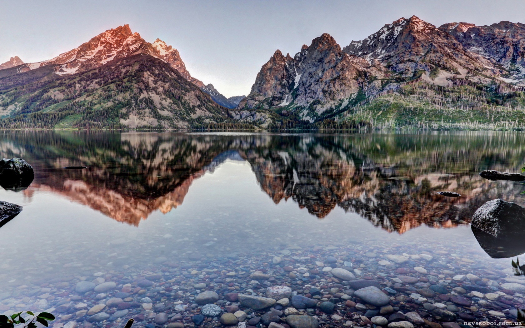
 Jenny Lake is located in Grand Teton National Park in the U.S. state of Wyoming. The lake was formed approximately

Image|Link

Introduction:

Jenny Lake is located in Grand Teton National Park in the U.S. state of Wyoming. The lake was formed approximately 12,000 years ago by glaciers pushing rock debris which carved Cascade Canyon during the last glacial maximum, forming a terminal moraine which now impounds the lake.


 Jenny Lake is located in Grand Teton National Park in the U.S. state of Wyoming. The lake was formed approximately

Image|Link

Facts:

Many people cross Jenny Lake, either by boat or on foot around the south end, and then make the short, forest-shaded uphill slog to Hidden Falls (less than 1 mile of hiking if you take the boat; 5 miles round-trip if you walk around), which tumbles down a broad cascade. Some think that's enough and don't go another steep half-mile to Inspiration Point

 Jenny Lake is located in Grand Teton National Park in the U.S. state of Wyoming. The lake was formed approximately

Image|Link

Get in:

From the north, U.S. Highways 89, 191 and 287 share the same road into the park via Yellowstone National Park. This route is closed from November to April due to snow.


Article Sources :|Link|Link|Link

Grand teton national park, jenny lake

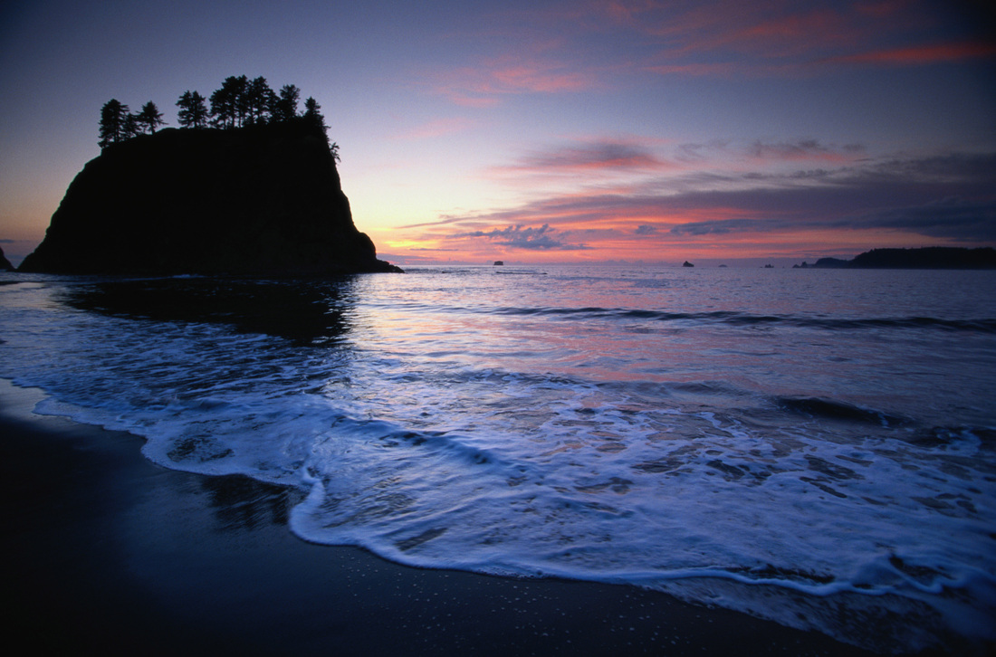
Olympic National Park is a United States national park located in the state of Washington, in the Olympic Peninsula. The park has four basic regions

Image|Link

Introduction:

Olympic National Park is a United States national park located in the state of Washington, in the Olympic Peninsula. The park has four basic regions: the Pacific coastline, alpine areas, the west side temperate rainforest and the forests of the drier east side.

Olympic National Park is a United States national park located in the state of Washington, in the Olympic Peninsula. The park has four basic regions

Image|Link

Forest:

Olympic National Park was established in 1938 in part to preserve some of Washington's quickly disappearing primeval forests. Now the park protects one of the largest remaining blocks of old growth forest and temperate rain forest in the lower 48 states.


Olympic National Park is a United States national park located in the state of Washington, in the Olympic Peninsula. The park has four basic regions

Image|Link

Get in:

You will want a car to explore Olympic National Park. Unlike many national parks, there are no roads through the park. In fact, the central part of the park is one of the last great roadless patches in the lower 48 states. There are a number of roads running from US 101 into the park: Hurricane Ridge, Elwha, Sol Doc, Hoh, and Quinault.

Article Sources : Link|Link|Link


Olympic national park

Introduction:  Pfeiffer Big Sur State Park is a state park in Monterey County, California near the area of Big Sur on the state's Central Coast. It covers approximately 1,006 acres (4.07 km2) of land. The park is centered on the Big Sur River. It has been nicknamed a "mini Yosemite."
 Image|Link

Introduction:

Pfeiffer Big Sur State Park is a state park in Monterey County, California near the area of Big Sur on the state's Central Coast. It covers approximately 1,006 acres (4.07 km2) of land. The park is centered on the Big Sur River. It has been nicknamed a "mini Yosemite."

Introduction:  Pfeiffer Big Sur State Park is a state park in Monterey County, California near the area of Big Sur on the state's Central Coast. It covers approximately 1,006 acres (4.07 km2) of land. The park is centered on the Big Sur River. It has been nicknamed a "mini Yosemite."

Image|Link

Facts:

Big Sur's most popular coastal access point, Pfeiffer Beach is hard to find if you've never been to it before. The trick is locating unmarked Sycamore Canyon Road. Here's a tip - Sycamore Canyon Road is the only paved, ungated road west of Highway One between the Big Sur post office and Pfeiffer Big Sur State Park.


Introduction:  Pfeiffer Big Sur State Park is a state park in Monterey County, California near the area of Big Sur on the state's Central Coast. It covers approximately 1,006 acres (4.07 km2) of land. The park is centered on the Big Sur River. It has been nicknamed a "mini Yosemite."

Image|Link

Get in:

Big Sur is a remote area accessible only via Highway 1. The easiest and most common way to get there is by car, though some enthusiastic adventurers cycle along the highway. Gas stations are far between and gas is expensive, so best to have plenty of gas when you enter the Big Sur region.


Article Sources :Link |Link| Link

Pfeiffer Beach, Big Sur, California, USA

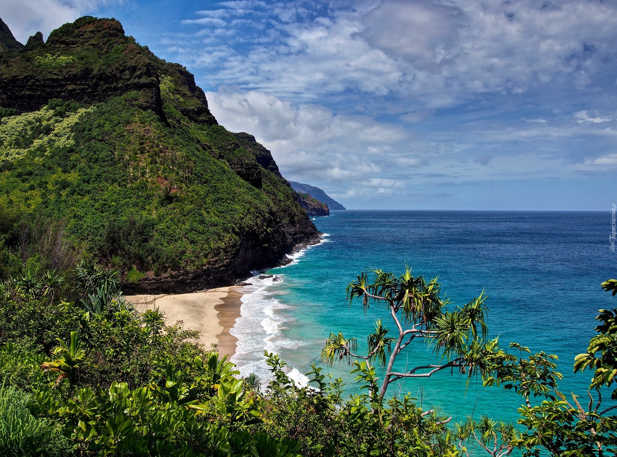
The Nā Pali Coast State Park encompasses 6,175 acres  of land and is located in the center of the rugged 16 miles  along the northwest side o

Image|Link

Introduction:

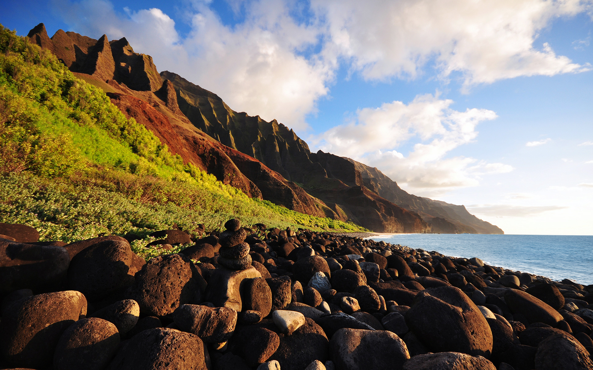
The Nā Pali Coast State Park encompasses 6,175 acres  of land and is located in the center of the rugged 16 miles  along the northwest side of Kauaʻi, the oldest inhabited Hawaiian island. The Nā Pali coast itself extends southwest starting at Keʻe Beach extending all the way to Polihale State Park.


The Nā Pali Coast State Park encompasses 6,175 acres  of land and is located in the center of the rugged 16 miles  along the northwest side o

Image|Link

Facts:

Kauaʻi's origins are volcanic, the island having been formed by the passage of the Pacific plate over the Hawaii hotspot. At approximately six million years old, it is the oldest of the main islands. The highest peak on this mountainous island is Kawaikini at 5,243 feet.

The Nā Pali Coast State Park encompasses 6,175 acres  of land and is located in the center of the rugged 16 miles  along the northwest side o

Image|Link

Get in:

Lihue Airport (LIH) is Kauai's main airport, a small terminal served with inter-island flights by Hawaiian and go!. Alaska, American, Delta, United Airlines, and US Airways offer non-stop service from the U.S. West Coast.


Article: Link|Link|Link

Kauai, Hawaii

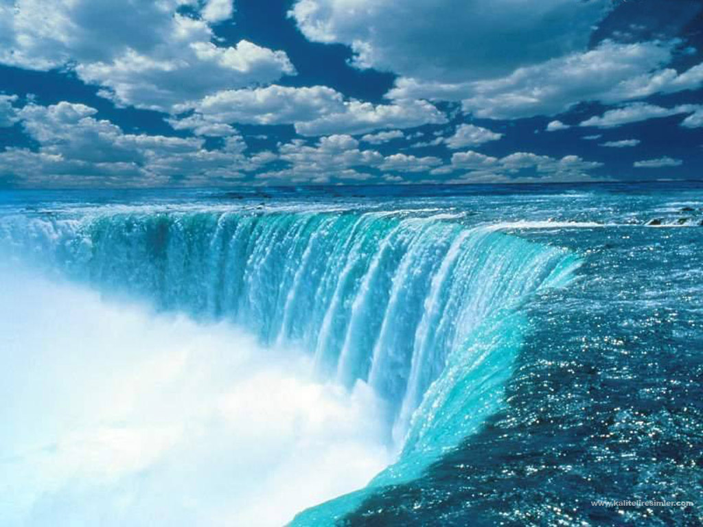
Niagara Falls (Cayuga: Gahnawehtaˀ or Tgahnawęhta) is the collective name for three waterfalls that straddle the international border between the Canadian province of Ontario and the U.S. state of New York. They form the southern end of the Niagara Gorge.

Niagara Falls.USA:


Niagara Falls (Cayuga: Gahnawehtaˀ or Tgahnawęhta) is the collective name for three waterfalls that straddle the international border between the Canadian province of Ontario and the U.S. state of New York. They form the southern end of the Niagara Gorge.
From largest to smallest, the three waterfalls are the Horseshoe Falls, the American Falls and the Bridal Veil Falls. The Horseshoe Falls lie on the Canadian side and the American Falls on the American side, separated by Goat Island. The smaller Bridal Veil Falls are also located on the American side, separated from the other waterfalls by Luna Island. The international boundary line was originally drawn through Horseshoe Falls in 1819, but the boundary has long been in dispute due to natural erosion and construction.


Niagara Falls.USA

Napali Cliffs, Kauai, Hawaii


Image|Link
Introduction:

"The Cliffs." Much of Na Pali Coast is inaccessible due to its characteristic sheer cliffs that drop straight down, thousands of feet into the ocean. Sailing, rafting and hiking are the best ways to experience Na Pali's myriad of natural wonders. A must-do Kauai activity.


Napali Cliffs, Kauai, Hawaii

Image|Link


To do:

Many hikers choose to break the trail up into two days, setting up camp at the beach of Hanakoa, and then heading to Kalalau the next morning. Camping permits are required from the Hawaii State Parks Division office in Lihue. Hiking during the winter months is discouraged.

Napali Cliffs, Kauai, Hawaii

Image|Link

Get in:

Lihue Airport (LIH) is Kauai's main airport, a small terminal served with inter-island flights by Hawaiian and go!. Alaska, American, Delta, United Airlines, and US Airways offer non-stop service from the U.S. West Coast.

Article Sources :Link |Link| Link

Napali Cliffs, Kauai, Hawaii

Palouse Falls, Washington


Image|Link

Introduction:

The Palouse Falls lies on the Palouse River, about 4 mi (6 km) upstream of the confluence with the Snake River in southeast Washington, United States. The falls are 198 ft (60 m) in height.The falls consists of an upper falls with a drop of ~20 feet which lies 1,000 feet (305 m) north northwest of the main drop, and a lower falls, with a drop of ~180 feet.

Palouse Falls, Washington

Image|Link

Activities:

Geology

The canyon at the falls is 115 meters deep, exposing a large cross-section of the Columbia River Basalt Group. These falls and the canyon downstream comprise an important feature of the channeled scablands


Image|Link

Get in:

Spokane International Airport, located in the region, offers air service to some cities in the western US: see the Spokane article for details. Other airports with commercial air service near this region include Walla Walla, Pasco and Pullman.

Article Sources :Link |Link| Link

Palouse Falls, Washington

Hole In The Wall Falls


Image | Link

Introduction:

Hole-in-the-Wall Falls is a 100-foot waterfall on Warren Creek in Starvation Creek State Park, Hood River County, Oregon, United States. Its main drop is 60 feet. It was created in 1938 when Warren Creek was diverted through a tunnel (hence its name) to prevent washouts of the Columbia River Highway.

Hole In The Wall Falls

Image| Link

To Do:

The hike is best done from late April through early November, as the conditions can be somewhat treacherous in icy winter conditions, and the stream fords difficult in winter and early spring. But for adventurous hikers, this loop is generally open year-round, and provides a nice hiking option when snow covers the high country.

Hole In The Wall Falls

Image | Link

Facts:

There was an ongoing flooding problem at Warren Creek and in 1938, highway forces decided that best way to remove the problem was to remove the creek. A pipe-like channel was blasted through the rock and Hole in Wall Falls was born.

Article Sources | Link | Link | Link |

Hole In The Wall Falls

Yosemite Chapel


Image  | Link

Introduction:

This site is an informational resource about the historic Yosemite Chapel, the oldest building in Yosemite National Park, and is not connected with the Park Service which owns the building or with any other entity, but is provided by Rev. John Paris, a minister for 38 years, including 14 years (1991-2005) at the chapel, who now serves as Minister at Large throughout the Yosemite Region, providing Weddings.

Yosemite Chapel


Image  | Link

Preservation:

The chapel was restored in 1965, when its foundations were raised in response to a 1964 flood,but was damaged in the 1997 Yosemite Valley floods and required repair.

Yosemite Chapel

Image  | Link

Get in:

Yosemite West is only accessible from inside Yosemite National Park. There is no other access.
Yosemite West is located 0.6 miles south of Chinquapin, the junction of Wawona Road and Glacier Point Road

Article Sources | Link Link | Link |

Yosemite Chapel

San Juan Mountains in Colorado

 Image  | Link

Introduction:

The San Juan Mountains are a high and rugged mountain range in the Rocky Mountains in southwestern Colorado, and is the largest mountain range in Colorado by area. The area is highly mineralized (the Colorado Mineral Belt) and figured in the gold and silver mining industry of early Colorado.
San Juan Mountains in Colorado

 Image  | Link

Silverton is the northern terminus of the Durango and Silverton Narrow Gauge Railway, one of only two remaining stretches of a once extensive system that criss-crossed the southern Rockies. The railway follows the deep, forested Animas Gorge for 45 miles through several tunnels, over high wooden bridges and across the face of steep slopes, and is a very popular attraction, usually open from May to October.


San Juan Mountains in Colorado

 Image  | Link

Get in:

All major airlines fly into Denver International Airport (code: DEN) as it is the major hub for the region, and in fact the ninth busiest airport in the world.


Article Sources | Link | Link | Link 


San Juan Mountains in Colorado

Mount shuksan lake


Image  | Link

Introduction:

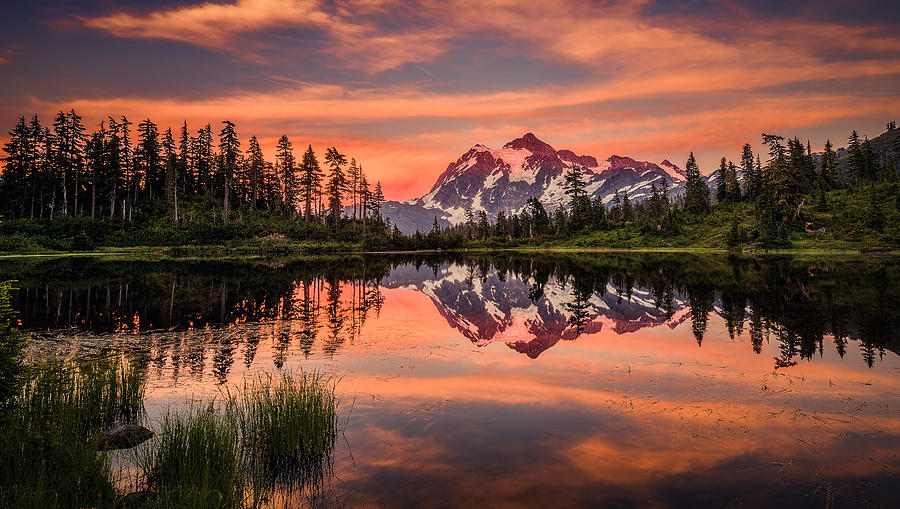
Mount Shuksan is one of the most beautiful mountains on the planet. The peak presents all of the most spectacular features that an alpine environment can offer - steep walls, hanging glaciers, heathered arms, and alpine tarns.

Mount shuksan lake

Image  | Link

There is no other sample in the American West of a peak with great icefall glaciers derived from a high plateau, and in the Pacific Northwest it is the only non-volcanic peak whose summit exceeds timberline by more than 3000 feet.

Mount shuksan lake

Image  | Link

The Mount Baker Highway, State Route 542, is kept open during the winter to support the ski area; in late summer, the road to Artist Point allows visitors to travel a few miles higher for a closer view of the peak.

Article Sources | Link |  Link

Mount shuksan lake

The Phantom Ship, Crater Lake

Image  | Link

Introduction:
   Phantom Ship is a small island in Crater Lake in the U.S. state of Oregon. It is a natural rock formation pillar which derives its name from its resemblance to a ghost ship, especially in foggy and low-light conditions.

The Phantom Ship, Crater Lake

Image  | Link

The lake is a caldera that was formed when Mount Mazama collapsed 7,700 years ago after an volcanic eruption. The lake’s depth was first measured in 1886 with a pipe and piano wire, and this measurement was surprisingly accurate, only 53 feet more than the more modern sonar sounding of 1,943 feet at the lake’s deepest point

The Phantom Ship, Crater Lake

Image  | Link

The island is about 500 feet long and reaches a maximum width of 200 feet near the east end. Its east-west ridge of spires, towering 170 feet above the water, sharply divides most of the island into two slopes.

Article Sources | Link |  Link

The Phantom Ship, Crater Lake

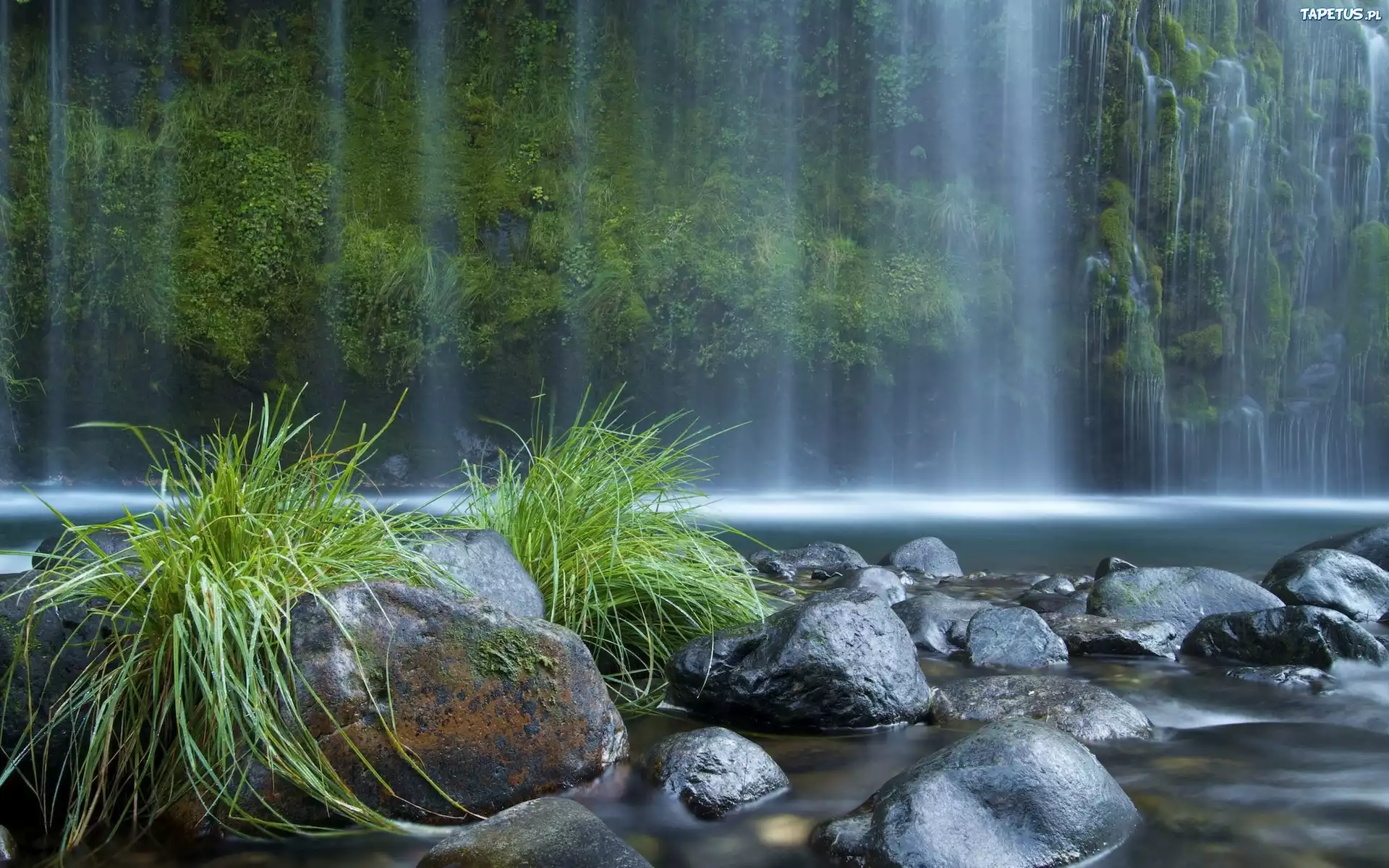
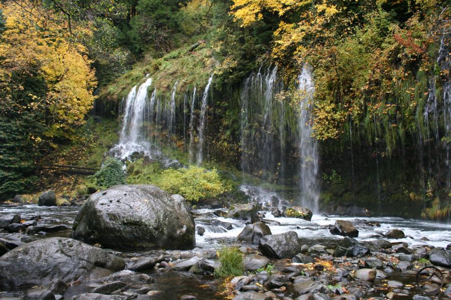
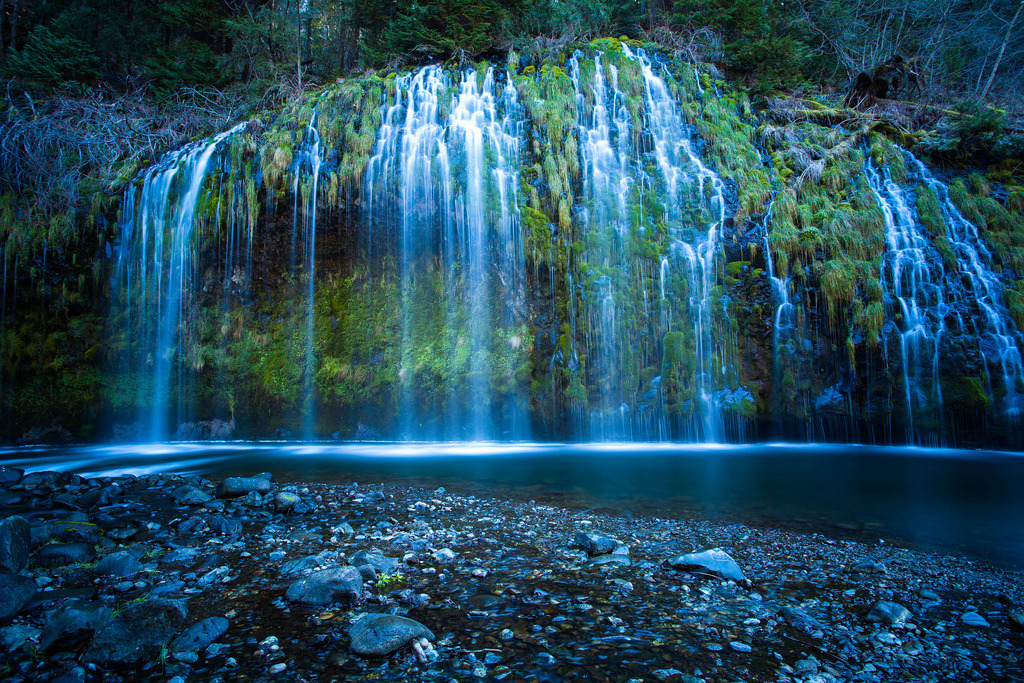
Mossbrae Falls


 Image  | Link

Introduction:

Mossbrae Falls is a waterfall flowing into the Sacramento River, in the Shasta Cascade area in Dunsmuir, California. The falls are located just south of the lower portion of Shasta Springs.
Mossbrae Falls

 Image  | Link

Access to the falls via a mile-long hiking trail on the Union Pacific Railroad tracks is currently closed, as Union Pacific and the City of Dunsmuir figure out a safer route to the falls.

Mossbrae Falls

 Image  | Link

The train tracks in Dunsmuir are lined with sharp stones, but you can see where hikers have flattened a narrow footpath on the way to Mossbrae Falls. As the trail winds through the hillside, the path disappears in places. If a train comes, your options are to run, press against the canyon wall, or jump into the Sacramento River below. If walking along a dangerously active rail line isn’t enough to deter hikers,

Article Sources | Link   | Link 

Mossbrae Falls*

+